
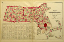
In the mid and late 1800s, pictorial maps became widely popular in America. Depicting communities from a bird's eye perspective, these maps were consequently known as aerial maps and they recorded the primary geographic features and buildings of a given area. Cartographers and artists would quickly sketch the buildings and structures within the proposed subject area of the map and later draw more detailed versions for reproduction by lithographers. Frequently, key landmarks or properties belonging to financial sponsors received greater attention and were featured in insets along the margins of the map.
Middleborough was twice documented in the late 19th century through pictorial maps, first in 1881 and just eight years later in 1889. The two maps, produced so closely together in time, provide an important visual record of the community in the Victorian era.
.
Illustration:
"Middleboro, Mass. 1881." (Milwaukee, WI: Beck & Paull, lithographers, 1881).
.
For a link to the 1889 pictorial map of Middleborough, click here.


+of+Smoky+Mountains+018.jpg)

0 comments:
Post a Comment